Sign Up. Stay Informed.
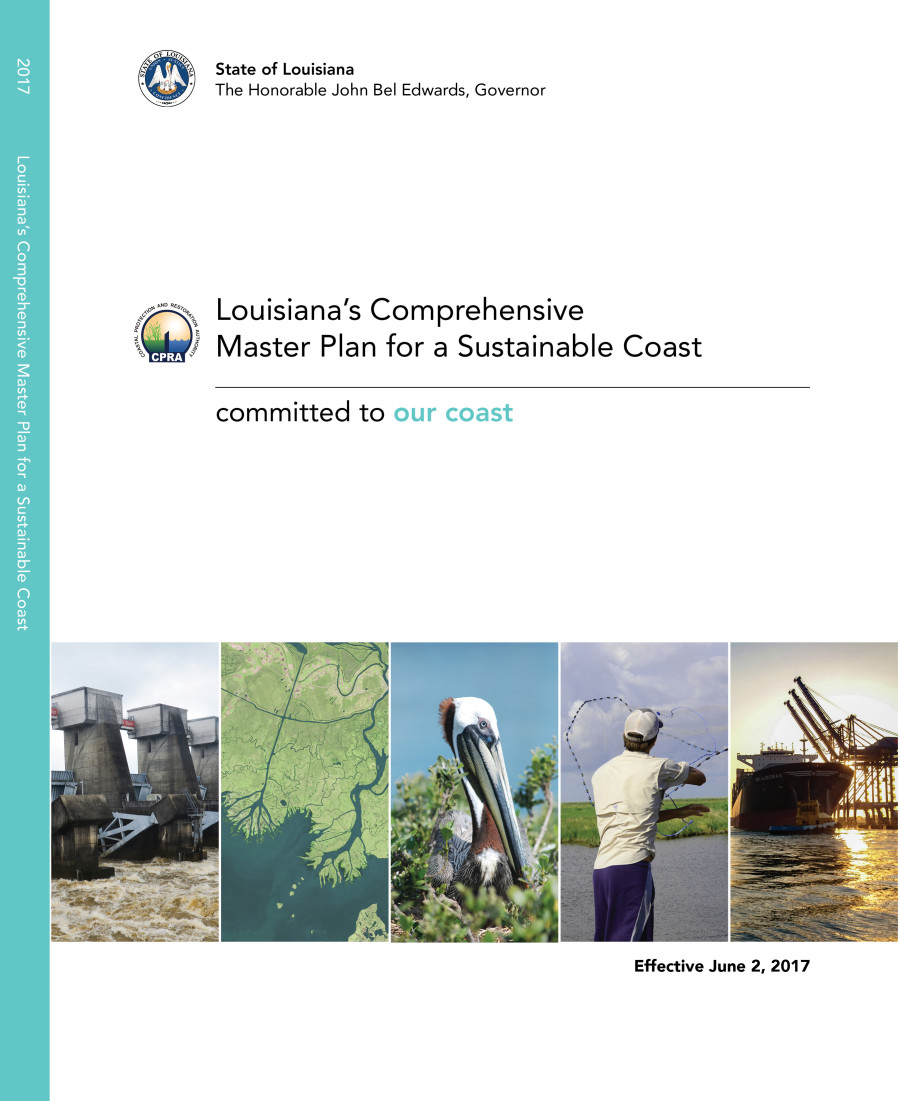
2017 Coastal Master Plan
To download a printable version click here.
To download a web version click here.
2017 Coastal Master Plan Appendices
To access the appendices to the 2017 Coastal Master Plan, please click the links below. If you have any questions regarding the appendices, please e-mail us at MasterPlan@la.gov.
 |
 |
 |
 |
 |
|---|---|---|---|---|
| Appendix A: Project Definition | Appendix B: People and the Landscape | Appendix C: Modeling (by chapter below) | Appendix D: Planning Tool | Appendix E: Flood Risk and Resilience Program Framework |
 |
 |
|---|---|
| Appendix F: Adaptive Management | Appendix G: Outreach and Engagement |
Appendix A: Project Definition
Attachment A1: Projects to be in 2017 Future Without Action (FWOA)
Attachment A2: Common Attributes
Attachment A3: Project-Specific Attributes by Project Type (Restoration)
Attachment A4: Project-Specific Attributes by Project Type (Structural Protection)
Attachment A5: Cost and Duration Attributes
Attachment A6: Available Sediment by Borrow Source and Implementation Period
Attachment A7: Project Uncertainty Factors
Attachment A8: Project Fact Sheets
Attachment A9: Parish Fact Sheets
Appendix B: People and the Landscape
Appendix C: Modeling
Attachment C2-1: Eustatic Sea Level Rise
Attachment C2-3: Precipitation and Evapotranspiration
Attachment C2-4: Tropical Storm Intensity and Frequency
Attachment C2-5: Options for Sensitivity Analyses
Chapter 3 – Modeling Components and Overview
Attachment C3-1: Sediment Distribution
Attachment C3-1.1: Sediment Distribution Supporting Information
Attachment C3-2: Marsh Edge Erosion
Attachment C3-3: Storms in the ICM Boundary Conditions
Attachment C3-4: Barrier Island Model Development (BIMODE)
Attachment C3-6: Gadwall Habitat Suitability Index Model
Attachment C3-7: Green-winged Teal Habitat Suitability Index Model
Attachment C3-8: Mottled Duck Habitat Suitability Index Model
Attachment C3-9: Brown Pelican Habitat Suitability Index Model
Attachment C3-10: Alligator Habitat Suitability Index Model
Attachment C3-11: Blue Crab Habitat Suitability Index Model
Attachment C3-12: Eastern Oyster Habitat Suitability Index Model
Attachment C3-13: Brown Shrimp Habitat Suitability Index Model
Attachment C3-14: White Shrimp Habitat Suitability Index Model
Attachment C3-15: Gulf Menhaden Habitat Suitability Index Model
Attachment C3-16: Spotted Seatrout Habitat Suitability Index Model
Attachment C3-17: Bay Anchovy Habitat Suitability Index Model
Attachment C3-18: Largemouth Bass Habitat Suitability Index Model
Attachment C3-19: Crayfish Habitat Suitability Index Model
Attachment C3-20: Ecopath with Ecosim (EwE)
Attachment C3-21: Nitrogen Uptake
Attachment C3-22: Integrated Compartment Model (ICM) Development
Attachment C3-22.1: ICM-Hydro Flow Calculations
Attachment C3-22.2: File Naming Convention
Attachment C3-23: ICM Calibration, Validation, and Performance Assessment
Attachment C3-23.1: Hydrology Station Locations
Attachment C3-23.2: Model Performance – Stage
Attachment C3-23.3: Model Performance – Flow
Attachment C3-23.4: Model Performance – Salinity
Attachment C3-23.5: Model Performance – Total Suspended Solids
Attachment C3-23.6: Model Performance – Temperature
Attachment C3-23.7: Model Performance – Total Kjeldahl Nitrogen
Attachment C3-23.8: Model Performance – Total Phosphorus
Attachment C3-24: Integrated Compartment Model Uncertainty Analysis
Attachment C3-25: Storm Surge and Risk Assessment
Attachment C3-25.1: Storm Surge
Attachment C3-26: Hydrology and Water Quality Boundary Conditions
Attachment C3-26.1: Monitoring Station List
Attachment C3-26.3: Water Level Data
Attachment C3-26.4: Water Quality Stations and Locations
Attachment C3-27: Landscape Data
Chapter 4 – Model Outcomes and Interpretations
Attachment C4-1: Modeling Quality Assurance and Quality Control (QA/QC)
Attachment C4-2: Mid-Breton Sound Diversion (001.DI.23) Model Output
Attachment C4-3: South Terrebonne Marsh Creation (03a.MC.100) Model Output
Attachment C4-4: Calcasieu Ship Channel Salinity Control Measures (004.HR.06) Model Output
Attachment C4-5: Lake Hermitage Shoreline Protection (002.SP.100) Model Output
Attachment C4-6: Grand Lake Bank Stabilization (004.BS.01) Model Output
Attachment C4-7: Bayou Decade Ridge Restoration (03a.RC.01) Model Output
Attachment C4-8: Barataria Pass to Sandy Point Barrier Island Restoration (002.BH.04) Model Output
Attachment C4-9: Biloxi Marsh Oyster Reef (001.OR.01a) Model Output
Attachment C4-10: Draft Master Plan Model Output
Attachment C4-11.1: Metric Values by Project
Attachment C4-11.2: Social Vulnerability Index
Chapter 5 – Modeling Conclusions and Looking Forward
Attachment C5-1: Predictive Models Technical Advisory Committee (PM-TAC) Report
Attachment C5-2: Additional Comments
Appendix E: Flood Risk and Resilience Program Framework
Attachment E1: Flood Risk and Resilience Program Policy Recommendations
Attachment E2: Parish Profiles
Attachment E3: Nonstructural Model Results
Attachment E4: Parish Applicant’s Handbook
Nonstructural Frequently Asked Questions
Appendix F: Adaptive Management
Appendix G: Outreach and Engagement
Attachment G1: Public Hearing Transcripts
Attachment G2: Public Comments
Attachment G2-A: Public Comments
Attachment G2-B: Public Comments
Attachment G2-C: Public Comments
Attachment G3: Framework Development Team