Sign Up. Stay Informed.
Project Types
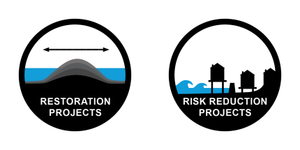
Restoration Projects
![]()
Bank Stabilization
Onshore placement of earthen fill and vegetative plantings designed to reduce wave energies and maintain shorelines in open bays, lakes, and bayous.
![]()
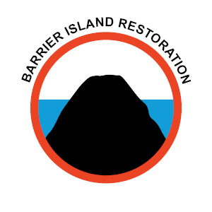
Barrier Island/Headland Restoration
Creation and restoration of dune, beach, and back barrier marsh to restore or augment Louisiana’s offshore barrier islands and headlands.
![]()
Diversion
Use of channels and/or structures to divert sediment and fresh water from the Mississippi and Atchafalaya Rivers into adjacent basins.
![]()
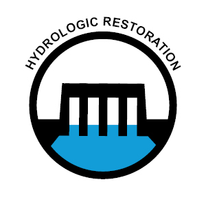
Hydrologic Restoration
Project features that restore natural hydrologic patterns either by conveying fresh water to areas that have been cut off by man-made features or by preventing the intrusion of salt water into fresh areas through man-made channels and eroded wetlands.
![]()
Living Shoreline
Establishment of bioengineered oyster reefs to improve oyster propagation and serve as breakwaters to attenuate wave energies.
![]()
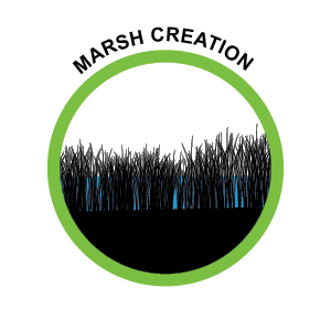
Marsh Creation
Creation of new wetlands in open water areas through sediment dredging and placement. Most projects involve pipeline conveyance of sediment.
![]()
Ridge Restoration
Re-establishment of historic ridges in basins through dredging, sediment placement, and vegetative plantings to restore natural ridge functions.
![]()
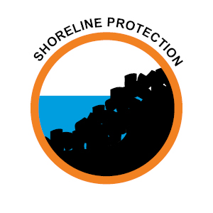
Shoreline Protection
Near-shore rock breakwaters to reduce wave energies on shorelines in open bays, lakes, sounds, and bayous.
Risk Reduction Projects
Structural Risk Reduction Projects
![]()
Earthen Levee
The principal component of structural projects is the earthen levee. These structures consist of pyramidal banks of compacted earth that provide a barrier against storm surge for coastal communities and other assets. Levees can either be linear in shape or ringed. Ring levees form a closed risk reduction system that encircles a protected area (referred to as a polder). Linear levees create a closed system by tying into other linear levees or by extending inland to high ground.
![]()
Floodgate
Floodgates are needed where levees or concrete walls cross a road or railroad or where they intersect waterways.
![]()
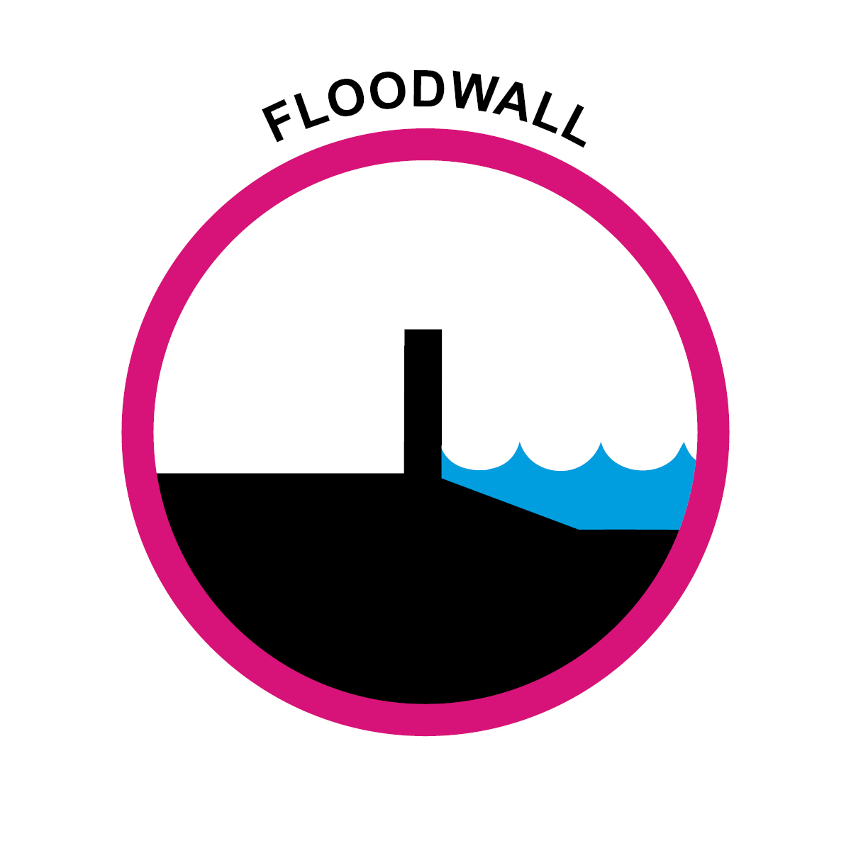
Floodwall
These are typically located at points along an earthen levee that have a high potential for erosion or insufficient space for the wide slopes of an earthen levee. Floodwalls were specified at junctions with water crossings, railroads, and major roadways (i.e., interstates and state highways).
![]()
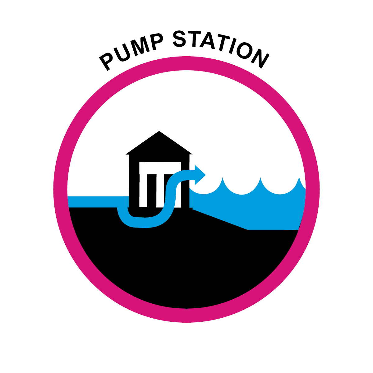
Pump Station
Pumps are needed in enclosed risk reduction systems to allow water that enters a polder to be pumped out. Pumps were included as features of most of our protection measures.
Nonstructural Risk Reduction Projects
![]()
Elevation
Elevation of residential structures is recommended in areas with a projected 100-year flood depth of between 3 and 14 feet so that their lowest floors are higher than projected flood depths.
Floodproofing
Floodproofing of non-residential structures is recommended in areas with projected 100-year flood depths of 3 feet or less so they can be resistant to flood damage.
Voluntary Acquisition
Voluntary Acquisition of residential structures is recommended in areas where projected 100-year flood depths make elevation or floodproofing infeasible and where residential structures would need to be elevated higher than 14 feet.